
Isla Montenegro topographic map
Interactive map
Click on the map to display elevation.
About this map
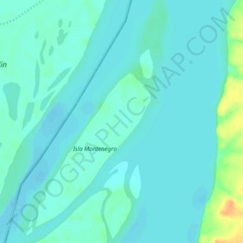
Name: Isla Montenegro topographic map, elevation, terrain.
Average elevation: 43 m
Minimum elevation: 36 m
Maximum elevation: 73 m
Other topographic maps
Click on a map to view its topography, its elevation and its terrain.
Uruguay River
Uruguay River, Municipio de Alvear, Departamento General Alvear, Ctes., N3353, Argentina
Average elevation: 128 m