
Usón topographic map
Interactive map
Click on the map to display elevation.
About this map
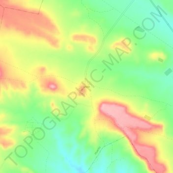
Name: Usón topographic map, elevation, terrain.
Location: Usón, Huerto, Los Monegros, Aragón, 22212, España (41.91927 -0.24201 41.95927 -0.20201)
Average elevation: 428 m
Minimum elevation: 363 m
Maximum elevation: 503 m
Other topographic maps
Click on a map to view its topography, its elevation and its terrain.
Venta de Ballerías
España > Aragón > Los Monegros > Huerto
Venta de Ballerías, Huerto, Los Monegros, Aragón, España
Average elevation: 351 m