
Princeton topographic map
Interactive map
Click on the map to display elevation.
About this map
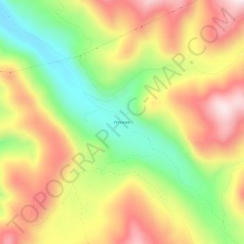
Name: Princeton topographic map, elevation, terrain.
Location: Princeton, Granite County, Montana, USA (46.39687 -113.18561 46.43687 -113.14561)
Average elevation: 1,867 m
Minimum elevation: 1,566 m
Maximum elevation: 2,162 m