
Kameke topographic map
Interactive map
Click on the map to display elevation.
About this map
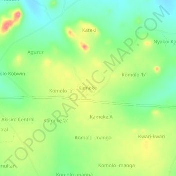
Name: Kameke topographic map, elevation, terrain.
Location: Kameke, Pallisa, Eastern Region, Uganda (1.24489 33.75405 1.28489 33.79405)
Average elevation: 1,102 m
Minimum elevation: 1,062 m
Maximum elevation: 1,159 m