
Bogota topographic map
Interactive map
Click on the map to display elevation.
About this map
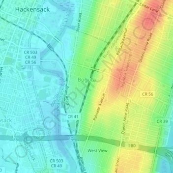
Name: Bogota topographic map, elevation, terrain.
Location: Bogota, Bergen County, New Jersey, 07603, United States (40.86557 -74.03979 40.88464 -74.02079)
Average elevation: 19 m
Minimum elevation: -4 m
Maximum elevation: 53 m