
Freha topographic map
Interactive map
Click on the map to display elevation.
About this map
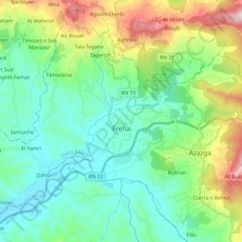
Name: Freha topographic map, elevation, terrain.
Location: Freha, Azazga District, Tizi Ouzou, Algeria (36.70291 4.17209 36.81957 4.33204)
Average elevation: 326 m
Minimum elevation: 98 m
Maximum elevation: 967 m