
El Ogla topographic map
Interactive map
Click on the map to display elevation.
About this map
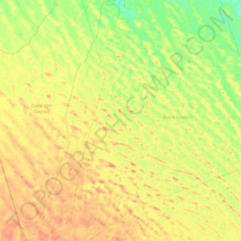
Name: El Ogla topographic map, elevation, terrain.
Location: El Ogla, Robbah District, El Oued, Algeria (32.69594 6.85424 33.27174 7.38749)
Average elevation: 105 m
Minimum elevation: 76 m
Maximum elevation: 148 m