
Urjais topographic map
Interactive map
Click on the map to display elevation.
About this map
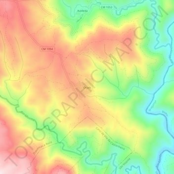
Name: Urjais topographic map, elevation, terrain.
Location: Urjais, São Vicente, Chaves, Vila Real, Portugal (41.81238 -7.25191 41.85238 -7.21191)
Average elevation: 623 m
Minimum elevation: 408 m
Maximum elevation: 841 m