
Gambiran topographic map
Interactive map
Click on the map to display elevation.
About this map
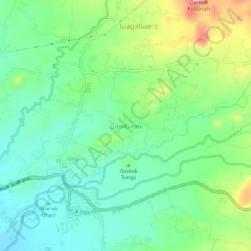
Name: Gambiran topographic map, elevation, terrain.
Location: Gambiran, Jember, East Java, 68181, Indonesia (-8.18369 113.78386 -8.14369 113.82386)
Average elevation: 204 m
Minimum elevation: 155 m
Maximum elevation: 307 m