
Lagjja e Vjetër (Selita e Vogël) topographic map
Interactive map
Click on the map to display elevation.
About this map
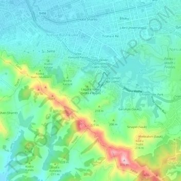
Name: Lagjja e Vjetër (Selita e Vogël) topographic map, elevation, terrain.
Average elevation: 156 m
Minimum elevation: 85 m
Maximum elevation: 368 m