
Saloum topographic map
Interactive map
Click on the map to display elevation.
About this map
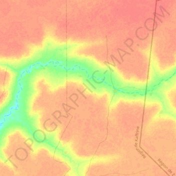
Name: Saloum topographic map, elevation, terrain.
Location: Saloum, Koungheul, Kaffrine, Sénégal (14.33234 -14.87161 14.42153 -14.57649)
Average elevation: 44 m
Minimum elevation: 18 m
Maximum elevation: 56 m