
Au Sarrau topographic map
Interactive map
Click on the map to display elevation.
About this map
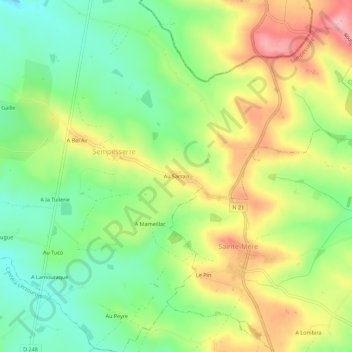
Name: Au Sarrau topographic map, elevation, terrain.
Average elevation: 136 m
Minimum elevation: 74 m
Maximum elevation: 216 m
Other topographic maps
Click on a map to view its topography, its elevation and its terrain.
A Lamothe
France > Occitanie > Gers > Sempesserre
A Lamothe, Sempesserre, Condom, Gers, Occitanie, France métropolitaine, 32700, France
Average elevation: 125 m