
Upper Lake topographic map
Interactive map
Click on the map to display elevation.
About this map
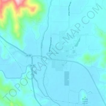
Name: Upper Lake topographic map, elevation, terrain.
Location: Upper Lake, Lake County, Californie, 95485, États-Unis (39.14461 -122.93055 39.18461 -122.89055)
Average elevation: 429 m
Minimum elevation: 400 m
Maximum elevation: 663 m