
New Palestine topographic map
Interactive map
Click on the map to display elevation.
About this map
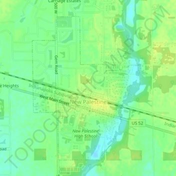
Name: New Palestine topographic map, elevation, terrain.
Location: New Palestine, Hancock County, Indiana, États-Unis (39.71307 -85.90032 39.73514 -85.87859)
Average elevation: 253 m
Minimum elevation: 243 m
Maximum elevation: 260 m