
Birney topographic map
Interactive map
Click on the map to display elevation.
About this map
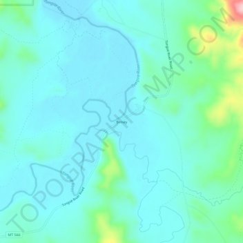
Name: Birney topographic map, elevation, terrain.
Location: Birney, Rosebud County, Montana, 59012, États-Unis (45.30166 -106.53504 45.34166 -106.49504)
Average elevation: 984 m
Minimum elevation: 949 m
Maximum elevation: 1,162 m