
Gloversville topographic map
Interactive map
Click on the map to display elevation.
About this map
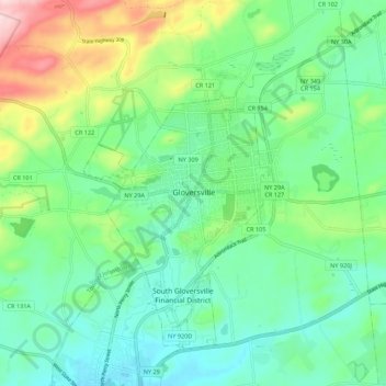
Name: Gloversville topographic map, elevation, terrain.
Location: Gloversville, Fulton County, New York, 12078, États-Unis (43.01064 -74.38542 43.09064 -74.30542)
Average elevation: 273 m
Minimum elevation: 199 m
Maximum elevation: 459 m