
Greenfield Park topographic map
Interactive map
Click on the map to display elevation.
About this map
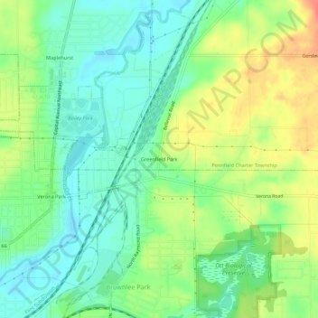
Name: Greenfield Park topographic map, elevation, terrain.
Location: Greenfield Park, Calhoun County, Michigan, 49014, USA (42.31504 -85.15721 42.35504 -85.11721)
Average elevation: 268 m
Minimum elevation: 247 m
Maximum elevation: 299 m