
Punta topographic map
Interactive map
Click on the map to display elevation.
About this map
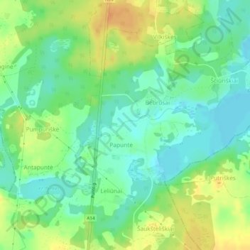
Name: Punta topographic map, elevation, terrain.
Average elevation: 160 m
Minimum elevation: 145 m
Maximum elevation: 178 m
Other topographic maps
Click on a map to view its topography, its elevation and its terrain.
D-2
D-2, Vyžuonų seniūnija, Utenos rajono savivaldybė, Bezirk Utenen, 28371, Litauen
Average elevation: 125 m