Geolocate

Deeg topographic map

Click on the map to display elevation.

About this map

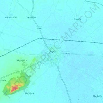
Name: Deeg topographic map, elevation, terrain.

Location: Deeg, Deeg Tehsil, Deeg District, Rajasthan, 321203, India (27.43733 77.28570 27.51733 77.36570)

Average elevation: 183 m

Minimum elevation: 178 m

Maximum elevation: 240 m

Gear up for your next adventure:

🧷Tenacious Repair Tape - Instant fix for torn tents, jackets, or dry bags
🧺Mesh Stuff Sacks - Breathable storage for wet gear or camp organization
🧴Tick Removal Tools - Small, essential health tool for UK woodland and moorland
🧵Survival Paracord - Multi-purpose cordage for emergency repairs and shelters
🧭Emergency Beacons - Safety beacons for remote outdoor locations

As an Amazon Associate, this site earns from qualifying purchases at no extra cost to you.