
Lenghu topographic map
Interactive map
Click on the map to display elevation.
About this map
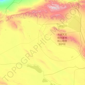
Name: Lenghu topographic map, elevation, terrain.
Average elevation: 2,921 m
Minimum elevation: 1,762 m
Maximum elevation: 5,778 m
Other topographic maps
Click on a map to view its topography, its elevation and its terrain.
1m Solar Telescope at 4000m elevation platform, NAOC
China > Qinghai > Mangnai City > Lenghu
Average elevation: 3,926 m