
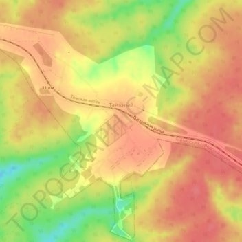
Таёжный topographic map
Interactive map
Click on the map to display elevation.
About this map
Name: Таёжный topographic map, elevation, terrain.
Average elevation: 253 m
Minimum elevation: 208 m
Maximum elevation: 274 m
Other topographic maps
Click on a map to view its topography, its elevation and its terrain.
Тайга
Россия > Кемеровская область > Тайгинский городской округ
Тайга, Тайгинский городской округ, Кемеровская область, Сибирский федеральный округ, Россия
Average elevation: 251 m