
Midville topographic map
Interactive map
Click on the map to display elevation.
About this map
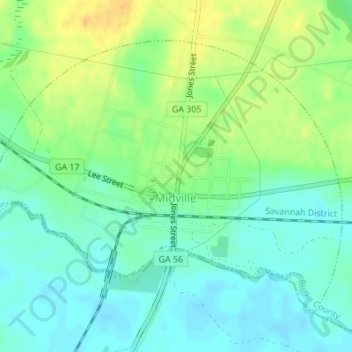
Name: Midville topographic map, elevation, terrain.
Location: Midville, Burke County, Georgia, United States (32.80971 -82.25286 32.83193 -82.21861)
Average elevation: 61 m
Minimum elevation: 49 m
Maximum elevation: 80 m