La Croix Blanche topographic map
Interactive map
Click on the map to display elevation.
About this map
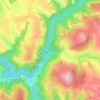
Name: La Croix Blanche topographic map, elevation, terrain.
Average elevation: 420 m
Minimum elevation: 253 m
Maximum elevation: 573 m

Click on the map to display elevation.
Name: La Croix Blanche topographic map, elevation, terrain.
Average elevation: 420 m
Minimum elevation: 253 m
Maximum elevation: 573 m