
Wide Galle topographic map
Interactive map
Click on the map to display elevation.
About this map
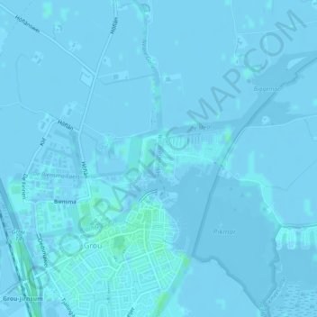
Name: Wide Galle topographic map, elevation, terrain.
Location: Wide Galle, Grou, Leeuwarden, Frise, Pays-Bas, 9001AA, Pays-Bas (53.09869 5.84140 53.10332 5.84186)
Average elevation: 0 m
Minimum elevation: -5 m
Maximum elevation: 4 m
Other topographic maps
Click on a map to view its topography, its elevation and its terrain.
Neare Galle
Neare Galle, Grou, Leeuwarden, Frise, Pays-Bas, 9001 ZS, Pays-Bas
Average elevation: 0 m