Geolocate

Ash Fork topographic map

Click on the map to display elevation.

About this map

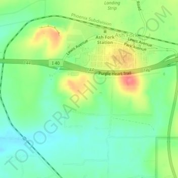
Name: Ash Fork topographic map, elevation, terrain.

Location: Ash Fork, Yavapai County, Arizona, 86320, United States (35.20480 -112.50866 35.22798 -112.47394)

Average elevation: 1,561 m

Minimum elevation: 1,534 m

Maximum elevation: 1,605 m

Gear up for your next adventure:

🔋Solar Chargers - Eco-friendly charging solutions for outdoor use
🥾Walking Shoes - Lightweight walking shoes for countryside and coastal paths
📐Altimeters & Barometers - Tools for measuring altitude and air pressure
🔋Solar Power Banks - Keep your GPS and phone charged during multi-day expeditions
🧊Insulated Flasks - Keeps drinks hot or cold during hikes

As an Amazon Associate, this site earns from qualifying purchases at no extra cost to you.