
Astrakhan topographic map
Click on the map to display elevation.
Astrakhan
Astrakhan (Russian: Астрахань, tr. Astrakhan', IPA: ; Tatar: Cyrillic Әстерхан, Latin Ästerxan) is the largest city and administrative centre of Astrakhan Oblast in Southern Russia. The city lies on two banks of the Volga, in the upper part of the Volga Delta, on eleven islands of the Caspian Depression, 60 miles (100 km) from the Caspian Sea, with a population of over 529,739 residents. At an elevation of 28 meters (92 ft) below sea level, it is the lowest city in Russia.
About this map
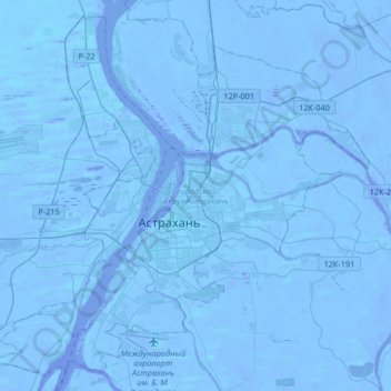
Name: Astrakhan topographic map, elevation, terrain.
Average elevation: -21 m
Minimum elevation: -30 m
Maximum elevation: -6 m