
Ashmore Pond topographic map
Interactive map
Click on the map to display elevation.
About this map
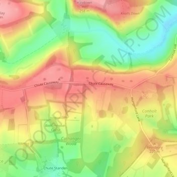
Name: Ashmore Pond topographic map, elevation, terrain.
Location: Ashmore Pond, Chute, Wiltshire, England, United Kingdom (51.29449 -1.55031 51.29469 -1.55002)
Average elevation: 205 m
Minimum elevation: 138 m
Maximum elevation: 261 m
Wiltshire trails, hiking, mountain biking, running and outdoor activities
Other topographic maps
Click on a map to view its topography, its elevation and its terrain.