
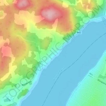
Clifton Royal topographic map
Interactive map
Click on the map to display elevation.
About this map
Name: Clifton Royal topographic map, elevation, terrain.
Average elevation: 60 m
Minimum elevation: -6 m
Maximum elevation: 184 m
Other topographic maps
Click on a map to view its topography, its elevation and its terrain.
Chapel Grove
Canada > New Brunswick > Kingston Parish
Chapel Grove, Kingston Parish, Kings County, New Brunswick, Canada
Average elevation: 37 m