
Huyện Kiến Thụy topographic map
Interactive map
Click on the map to display elevation.
About this map
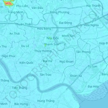
Name: Huyện Kiến Thụy topographic map, elevation, terrain.
Location: Huyện Kiến Thụy, Haiphong, Vietnam (20.67669 106.60152 20.79065 106.74047)
Average elevation: 3 m
Minimum elevation: -4 m
Maximum elevation: 131 m
Other topographic maps
Click on a map to view its topography, its elevation and its terrain.