
大同 topographic map
Interactive map
Click on the map to display elevation.
About this map
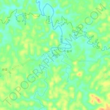
Name: 大同 topographic map, elevation, terrain.
Location: 大同, 兴业县, 玉林市, 广西壮族自治区, 543000, 中国 (22.99128 109.92517 23.03128 109.96517)
Average elevation: 60 m
Minimum elevation: 42 m
Maximum elevation: 85 m