Geolocate

Tuscola topographic map

Click on the map to display elevation.

About this map

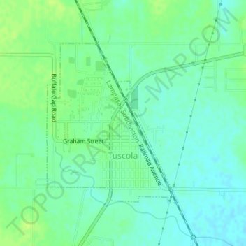
Name: Tuscola topographic map, elevation, terrain.

Location: Tuscola, Taylor County, Texas, United States (32.20280 -99.80602 32.22031 -99.78898)

Average elevation: 603 m

Minimum elevation: 596 m

Maximum elevation: 611 m

Other topographic maps

Click on a map to view its topography, its elevation and its terrain.

Abilene

United States > Texas > Taylor County > Abilene

Average elevation: 549 m

View

United States > Texas > Taylor County

Average elevation: 584 m

Gear up for your next adventure:

🧭Orienteering Compasses - Accurate compasses for map-based navigation
🍳Camping Stoves - Compact stoves for outdoor cooking
👖Hiking Trousers - Durable trousers designed for rough terrain
🧘Folding Sit Mats - Dry and warm seat for map-reading breaks on damp ground
🗺️Ordnance Survey Maps - Official UK maps for walking and outdoor activities

As an Amazon Associate, this site earns from qualifying purchases at no extra cost to you.