
Galva topographic map
Interactive map
Click on the map to display elevation.
About this map
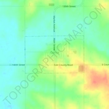
Name: Galva topographic map, elevation, terrain.
Location: Galva, Ida County, Iowa, Estados Unidos da América (42.50172 -95.42721 42.51105 -95.40733)
Average elevation: 397 m
Minimum elevation: 380 m
Maximum elevation: 425 m