
Wallroth topographic map
Interactive map
Click on the map to display elevation.
About this map
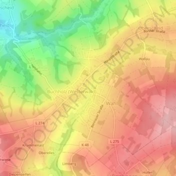
Name: Wallroth topographic map, elevation, terrain.
Average elevation: 252 m
Minimum elevation: 166 m
Maximum elevation: 307 m
Other topographic maps
Click on a map to view its topography, its elevation and its terrain.
Wallau
Deutschland > Rheinland-Pfalz > Landkreis Neuwied > Oberscheid > Wallau
Wallau, Oberscheid, Buchholz, Asbach, Landkreis Neuwied, Rheinland-Pfalz, 53567, Deutschland
Average elevation: 262 m