
Corban topographic map
Interactive map
Click on the map to display elevation.
About this map
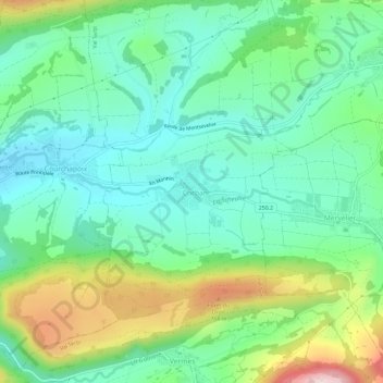
Name: Corban topographic map, elevation, terrain.
Location: Corban, District de Delémont, Jura, 2826, Suisse (47.32651 7.45562 47.36651 7.49562)
Average elevation: 597 m
Minimum elevation: 482 m
Maximum elevation: 869 m