
Terril topographic map
Interactive map
Click on the map to display elevation.
About this map
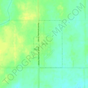
Name: Terril topographic map, elevation, terrain.
Location: Terril, Dickinson County, Iowa, 51364, États-Unis d'Amérique (43.29863 -94.97552 43.31313 -94.96339)
Average elevation: 434 m
Minimum elevation: 424 m
Maximum elevation: 445 m
Other topographic maps
Click on a map to view its topography, its elevation and its terrain.
Omaha Beach
États-Unis d'Amérique > Iowa > Dickinson County > Okoboji
Omaha Beach, Okoboji, Dickinson County, Iowa, 51355, États-Unis d'Amérique
Average elevation: 431 m