
Yale topographic map
Interactive map
Click on the map to display elevation.
About this map
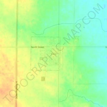
Name: Yale topographic map, elevation, terrain.
Location: Yale, Guthrie County, Iowa, United States (41.77089 -94.36275 41.77936 -94.35284)
Average elevation: 338 m
Minimum elevation: 321 m
Maximum elevation: 355 m
Other topographic maps
Click on a map to view its topography, its elevation and its terrain.