Geolocate

Long Beach topographic map

Click on the map to display elevation.

About this map

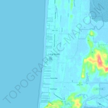
Name: Long Beach topographic map, elevation, terrain.

Location: Long Beach, Pacific County, Washington, 98631, USA (46.31232 -124.09433 46.39232 -124.01433)

Average elevation: 5 m

Minimum elevation: -3 m

Maximum elevation: 95 m

Gear up for your next adventure:

🧤Thermal Touchscreen Gloves - Stay warm while operating your GPS or smartphone camera
🛑Emergency Bivvy Bags - Heat-reflective survival bags for unexpected nights out
GPS Outdoor Watches - Watches with GPS tracking for hiking and exploration
🦯Walking Poles - Supportive poles for long-distance walking
🧴Tick Removal Tools - Small, essential health tool for UK woodland and moorland

As an Amazon Associate, this site earns from qualifying purchases at no extra cost to you.