
Juan González topographic map
Interactive map
Click on the map to display elevation.
About this map
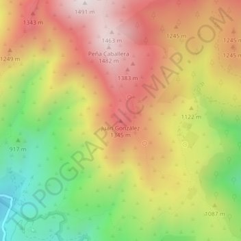
Name: Juan González topographic map, elevation, terrain.
Average elevation: 1,104 m
Minimum elevation: 664 m
Maximum elevation: 1,487 m
Other topographic maps
Click on a map to view its topography, its elevation and its terrain.
El Durazno
Spain > Castile and León > Candeleda
El Durazno, Candeleda, Ávila, Castile and León, Spain
Average elevation: 1,839 m