
Colijnsplaat topographic map
Interactive map
Click on the map to display elevation.
About this map
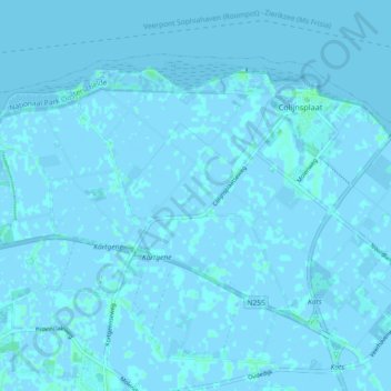
Name: Colijnsplaat topographic map, elevation, terrain.
Location: Colijnsplaat, Noord-Beveland, Zeeland, Nederland (51.56641 3.77875 51.60750 3.87011)
Average elevation: 0 m
Minimum elevation: -3 m
Maximum elevation: 7 m
Other topographic maps
Click on a map to view its topography, its elevation and its terrain.
Orisant
Nederland > Zeeland > Colijnsplaat
Orisant, Colijnsplaat, Noord-Beveland, Zeeland, Nederland, 4486PM, Nederland
Average elevation: 0 m