
Glen Falls topographic map
Interactive map
Click on the map to display elevation.
About this map
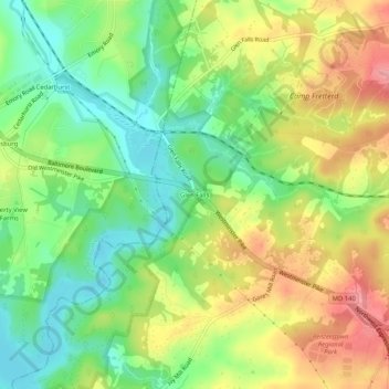
Name: Glen Falls topographic map, elevation, terrain.
Location: Glen Falls, Baltimore County, Maryland, United States (39.46760 -76.88387 39.50760 -76.84387)
Average elevation: 167 m
Minimum elevation: 120 m
Maximum elevation: 225 m