
Desa Danau Sarang Elang topographic map
Interactive map
Click on the map to display elevation.
About this map
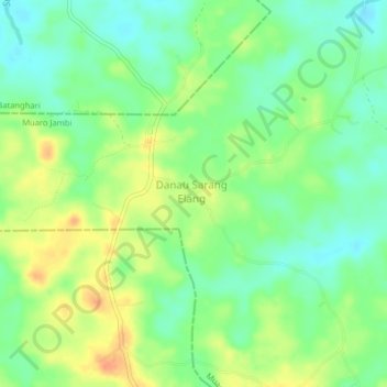
Name: Desa Danau Sarang Elang topographic map, elevation, terrain.
Location: Desa Danau Sarang Elang, Jambi Luar Kota, Jambi, Indonesia (-1.66037 103.39636 -1.62037 103.43636)
Average elevation: 28 m
Minimum elevation: 10 m
Maximum elevation: 52 m