
Bradaal topographic map
Interactive map
Click on the map to display elevation.
About this map
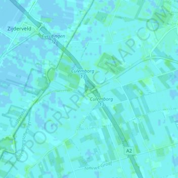
Name: Bradaal topographic map, elevation, terrain.
Location: Bradaal, Culemborg, Gelderland, Netherlands, 4107LN, Netherlands (51.90881 5.14330 51.94881 5.18330)
Average elevation: 1 m
Minimum elevation: -3 m
Maximum elevation: 5 m