
Sanglakoti topographic map
Interactive map
Click on the map to display elevation.
About this map
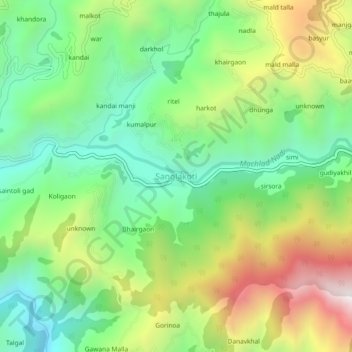
Name: Sanglakoti topographic map, elevation, terrain.
Location: Sanglakoti, Chaubatta Khal, Pauri Garhwal, Uttarakhand, India (29.87929 78.83575 29.91929 78.87575)
Average elevation: 1,245 m
Minimum elevation: 801 m
Maximum elevation: 1,987 m