
Fonfría topographic map
Interactive map
Click on the map to display elevation.
About this map
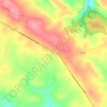
Name: Fonfría topographic map, elevation, terrain.
Location: Fonfría, Zamora, Castile and León, Spain (41.61613 -6.15949 41.65613 -6.11949)
Average elevation: 808 m
Minimum elevation: 743 m
Maximum elevation: 854 m