
Roeser topographic map
Interactive map
Click on the map to display elevation.
About this map
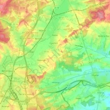
Name: Roeser topographic map, elevation, terrain.
Location: Roeser, Canton Esch-sur-Alzette, Luxembourg (49.48998 6.08463 49.56679 6.17645)
Average elevation: 277 m
Minimum elevation: 230 m
Maximum elevation: 335 m