
Walde topographic map
Interactive map
Click on the map to display elevation.
About this map
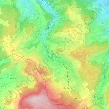
Name: Walde topographic map, elevation, terrain.
Location: Walde, Schmiedrued, Bezirk Kulm, Aargau, 5046, Schweiz (47.24264 8.09070 47.28264 8.13070)
Average elevation: 664 m
Minimum elevation: 505 m
Maximum elevation: 853 m