
Thatlouangkang topographic map
Interactive map
Click on the map to display elevation.
About this map
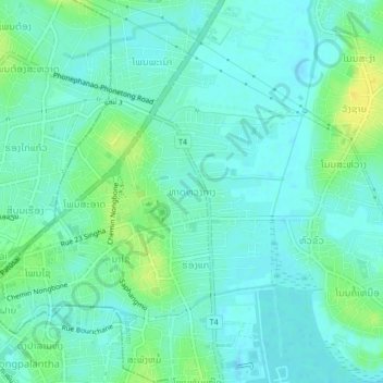
Name: Thatlouangkang topographic map, elevation, terrain.
Average elevation: 170 m
Minimum elevation: 163 m
Maximum elevation: 186 m
Other topographic maps
Click on a map to view its topography, its elevation and its terrain.
Chommanytai
Laos > Vientiane Prefecture > Xaysetha District > Vientiane Capital
Average elevation: 172 m
Saphangmo
Laos > Vientiane Prefecture > Xaysetha District > Vientiane Capital
Average elevation: 170 m