
Antillanca topographic map
Interactive map
Click on the map to display elevation.
About this map
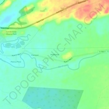
Name: Antillanca topographic map, elevation, terrain.
Location: Antillanca, Provincia de Cautín, Araucanie, Chili (-39.39362 -72.60836 -39.35362 -72.56836)
Average elevation: 123 m
Minimum elevation: 103 m
Maximum elevation: 163 m