Geolocate

M25 Pollution Control Device topographic map

Click on the map to display elevation.

About this map

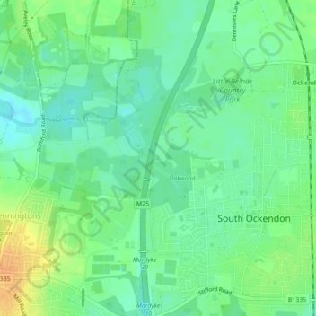
Name: M25 Pollution Control Device topographic map, elevation, terrain.

Location: M25 Pollution Control Device, South Ockendon, Thurrock, Essex, England, United Kingdom (51.51429 0.26923 51.51477 0.26980)

Average elevation: 19 m

Minimum elevation: 6 m

Maximum elevation: 39 m

Essex trails, hiking, mountain biking, running and outdoor activities

Gear up for your next adventure:

🧘Folding Sit Mats - Dry and warm seat for map-reading breaks on damp ground
🗺️Scratch-off Peak Maps - Track your progress climbing Munros or Wainwrights
💧Hydration Reservoirs - Convenient water bladders for hands-free drinking on the move
📸Action Camera Chest Mounts - Record your ascent following topographic paths hands-free
🧢Waterproof Hiking Hats - Keep the rain off your face while studying topographic maps

As an Amazon Associate, this site earns from qualifying purchases at no extra cost to you.