
Mominggletscher topographic map
Interactive map
Click on the map to display elevation.
About this map
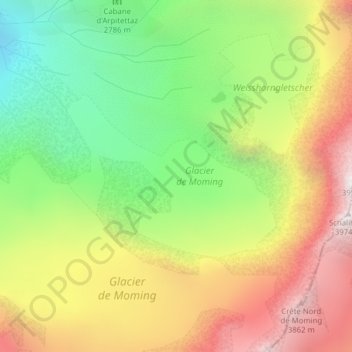
Name: Mominggletscher topographic map, elevation, terrain.
Location: Mominggletscher, Firngrat, Randa, Visp, Wallis, 3928, Schweiz (46.08109 7.67378 46.09361 7.69918)
Average elevation: 3,062 m
Minimum elevation: 2,309 m
Maximum elevation: 3,932 m
Other topographic maps
Click on a map to view its topography, its elevation and its terrain.
Hohlichtgletscher
Hohlichtgletscher, Schaligletscher 2011, Randa, Visp, Wallis, 3928, Schweiz
Average elevation: 3,194 m